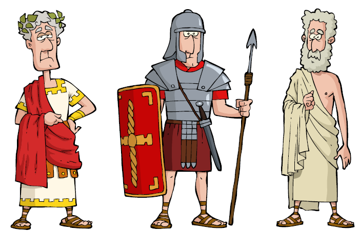
Romans

What have the Romans ever done for us?
Well, apart from the sanitation, medicine, education, wine, public order, irrigation, roads, the fresh water system and public health…
In this part of Wiltshire, there was the Roman settlement at Dvrocornovivm (Wanborough), connected by road to Cunetio (Mildenhall).
The area we now call Ogbourne St.George lay on the connecting road.
Local historians and experts at the Association for Roman Archaelogy (ARA) believe that the Og valley contained several Roman buildings. Evidence of this can still be found in old stones walls in the area, where a trained eye can find lumps of Roman concrete.
Our view of the Og valley today is of a relatively dry place, because of the sheer volume of water that is being extracted by bore holes and pumps. This blinds us to what it must have looked like 2000 years ago with much more surface water flowing down the valley, for more of the year. ARA field work suggests that the river was canalised to make it straighter in places, and regularly maintained, so that food and drink could be moved by shallow-draft barges downstream to the Kennet, and from there to Cunetio.
What drink? Excavations at a Roman Temple in the Og valley found a six foot high malting oven, for roasting barley to make beer. Which seems to suggest that toasting the health of their deities, in large quantities, was high on the list of Roman priorities!
The Roman Temple was built on the site of an earlier pagan or Celtic temple, close to the springhead of the River Og.
Comments migrated from the old site…
According to a recent paper on the possible locations of Boudica’s last battle, A.D. 61, against the Legions of Suetonius Paulinus , Ogborne St George appears No1 in the listing, supposing Suetonius left London moving Westwards (past Silchester), rather than the other conventional preferred route back up Watling Street
http://bandaarcgeophysics.co.uk/
David Scothorn
Aug 27, 2013 at 2:45 pm
David, this is excellent material, thank you. It seems like very sensible reasoning based on military logistics, supplies and marching camps a day apart.
I wonder if the legendary King Arthur used the same tactics to lure Saxons to battle at Badon Hill?
http://en.wikipedia.org/wiki/Battle_of_Badon
Keith Macdonald
Aug 29, 2013 at 6:04 pm
According to Historia Brittonum
12th Battle, 960 fell in one charge by Arthur, ”and all struck down by Arthur himself”. With Excalibur, no doubt! Symbolic, don’t you think??
David Scothorn
Aug 29, 2013 at 6:17 pm
Liddington Castle, just four miles from Ogbourne St.George, is suggested by some as the location of the Battle of Mount Badon.
http://en.wikipedia.org/wiki/Liddington_Castle
Keith Macdonald
Aug 29, 2013 at 6:33 pm
Quite a landmark from the M4. Maybe history repeats itself.
David Scothorn
Aug 29, 2013 at 6:50 pm